- 1:20 h
- 3.55 km
- 28 m
- 657 m
- 1,800 m
- 2,456 m
- 656 m
- Start: Stand
- Destination: Trübsee upper terminus
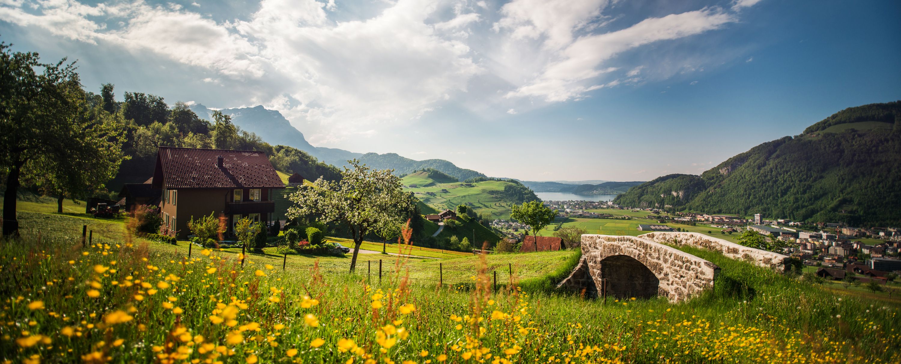
The steep panoramic trail between Stand and the Trübsee upper terminus offers great views of the mountains. The tour impresses with its fantastic views. The geological footpath between Trübsee and Stand explains the geological history of the Alps thanks to info panels that also explain the geology of the TITLIS area.

Good to know
Best to visit
suitable
Depends on weather
Directions
Station Stand - Bergstation Trübsee
Tour information
Nature Highlight
Directions & Parking facilities
Parking costs CHF 5.00 per day.
By train:
The Zentralbahn takes you directly from Lucerne to Engelberg. The journey takes around 45 minutes from Lucerne. From Engelberg station to the TITLIS valley station you can walk for ten minutes or take the free bus.
Author
Nidwalden Tourismus
Organization
Nidwalden Tourismus
Author´s Tip / Recommendation of the author
Climbing fans will love the Laubersgrat climbing park.
Nearby